Saturday
(Click on any picture or map to see a larger version)
No one else could get permission (from the Boss at work or the one in the kitchen) to go on a trip in July 1997, so it was left to Brent and me, Peter, to make a solo canoe trip. Because of the single canoe (and because neither of us are strong swimmers) we wanted a flat water trip. Brent proposed going in from km. 60 north of La Ronge and making a loop using parts of Canoe Saskatchewan Routes 20 and 21.
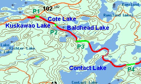
The area of our trip has hills and lakes in long narrow bands trending northeast to southwest, as you see on the title page.
Brent came from Saskatoon to our Emma Lake cottage on Friday evening, July 11, 1997.
We left early in the morning on Saturday 12th, and drove the 2 hours to La Ronge plus another 60 km. north to our put in point.
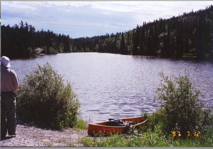
We unloaded and packed the canoe, and Brent drove across the road to leave his car in the Government Campsite. We were on the water of tiny Kuskawao Lake at 10.30 am.
The first part of the trip follows Route 20 in reverse.
From the put in point it is only about 100 m to the first portage (Portage Number 1; P1 for us but P7 in the Trip Guide). The guide ominously refers to locating it at a break in the muskeg. We soon had wet feet.
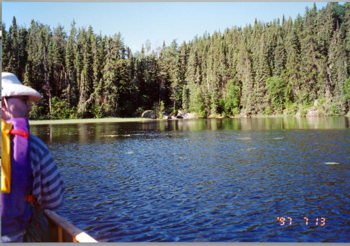
A 700 m paddle along the length of Cote Lake brought us to P2, 145 m, leading to Baldhead Lake. Another 1100 m brought us to the rocky outlet stream at the southeast end of the lake and our first beaver dam.
We swapped bow and stern positions at each portage. Here we are with Brent in the bow approaching P3.
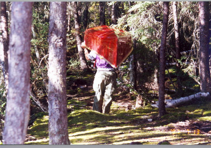
P3 is a 235 m portage linking Baldhead to Contact Lake. Brent, being the weight lifter, carried the canoe, but he insisted that Peter carry two packs at a time so that we only walked each portage twice.
Contact Lake is one of the bigger lakes on our trip, with many arms between the hills and peninsulas. We threaded our way along and through a marshy shallow section leading to the large, open area of Contact, where we turned sharply left towards the northeast and joined Route 21, in reverse.
 Another km. brought us to P4, 255 m with steep sections, leading
to a small nameless lake, where a few hundred metres paddling brought us to P5.
You have to be a particular person to enjoy this portage. Too shallow to paddle,
and deep mud and muskeg for walking.
Another km. brought us to P4, 255 m with steep sections, leading
to a small nameless lake, where a few hundred metres paddling brought us to P5.
You have to be a particular person to enjoy this portage. Too shallow to paddle,
and deep mud and muskeg for walking.
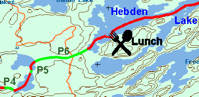
A very brief paddle brought us to our P6. This is a killer, 1197 metres long but in good condition. Two thirds of the way along the trail cuts across the old Contact Gold Mines access road, before the trail slopes down to Hebden Lake. It was a long haul to the northeast on Hebden Lake, into a stiff head wind, so we soon stopped for lunch on the eastern shore.
 About 5 km.
more on
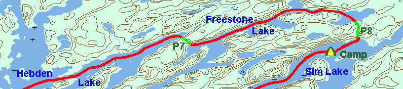
Hebden and we came to P7, 345 m long, leading to Freestone Lake, a very long narrow lake
between steep banks.
About 5 km.
more on
Hebden and we came to P7, 345 m long, leading to Freestone Lake, a very long narrow lake
between steep banks.
Another 4 to 5 km. took us around the northern end of Freestone where we turned towards the southeast.
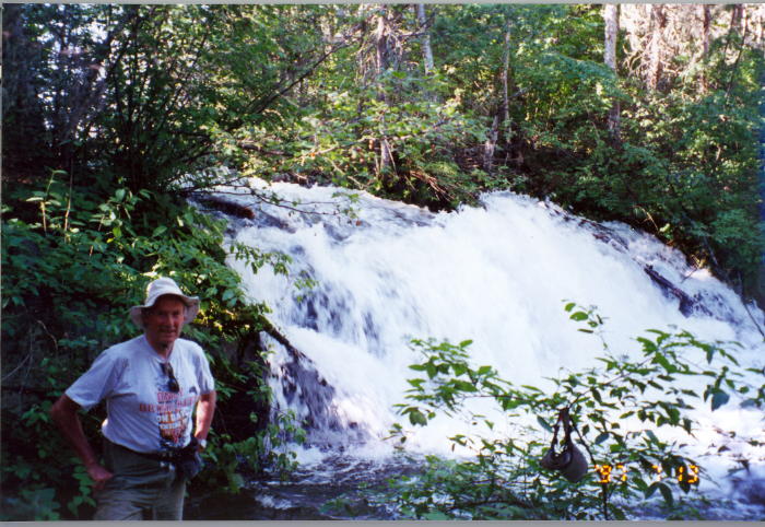
There is a spectacular waterfall near the beginning of P8.
P8 is 666m long, heading in a southerly direction to connect to Sim Lake.
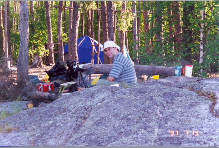
By then it was after 5.30 pm and we looked for a campsite. We found a nice one on an island after about a one km. paddle.
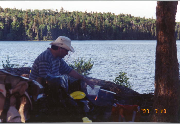
Brent is an experienced and accomplished camp cook.